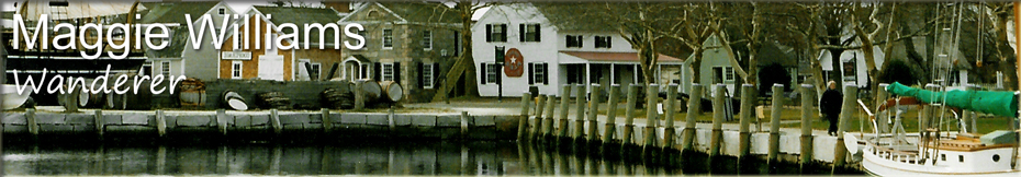
Appenzell to Gimmelwald, Schweiz (Switzerland)
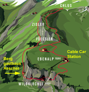
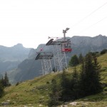
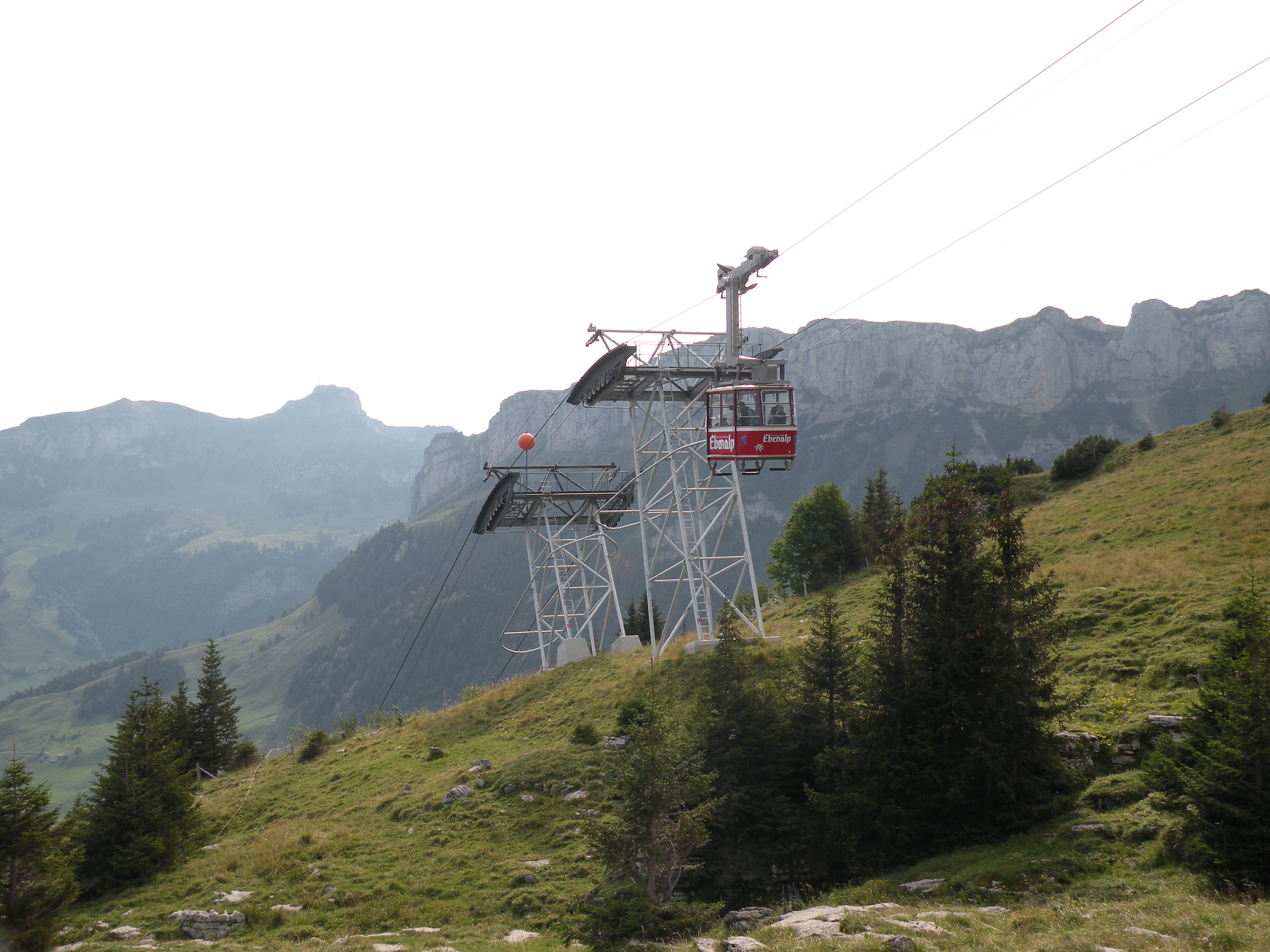
After a good night sleep and breakfast, I drove to Wasserauen, where I caught the cable car up to Ebenalp. My goal was Berggasthaus Äescher. I wanted to stay here but they were full, but I still wanted to see the place since I was in the neighborhood and all.


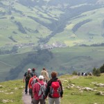
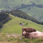
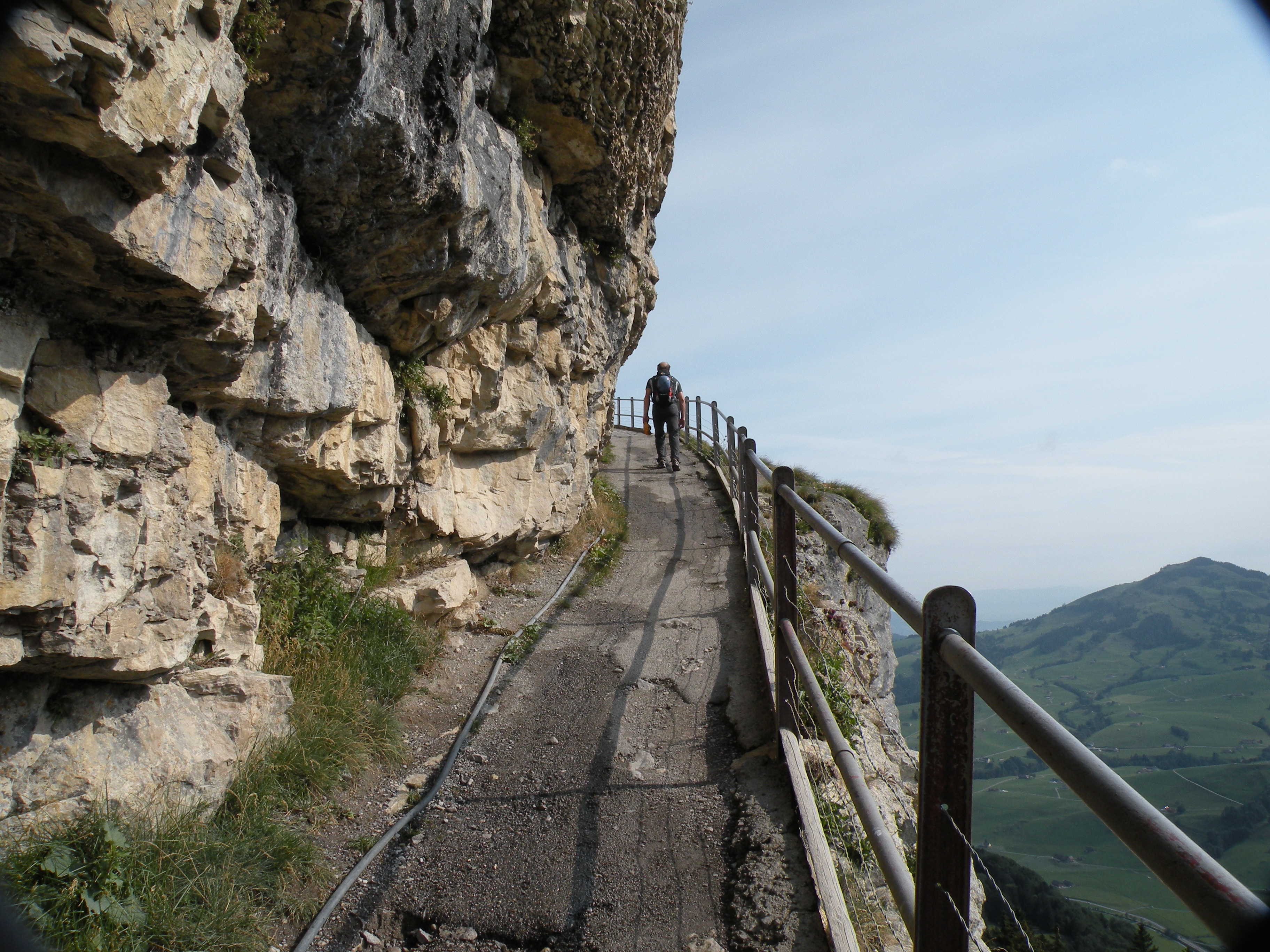
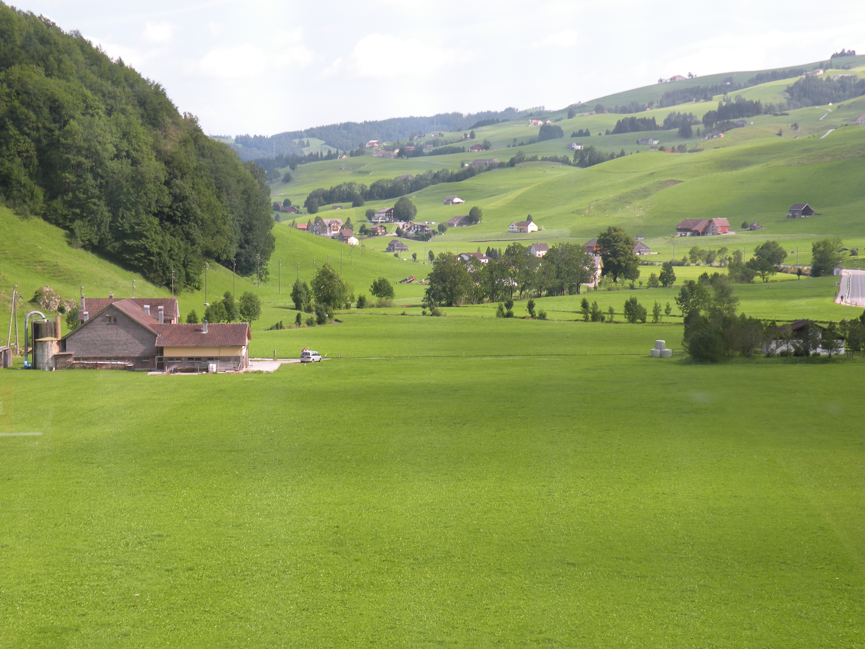
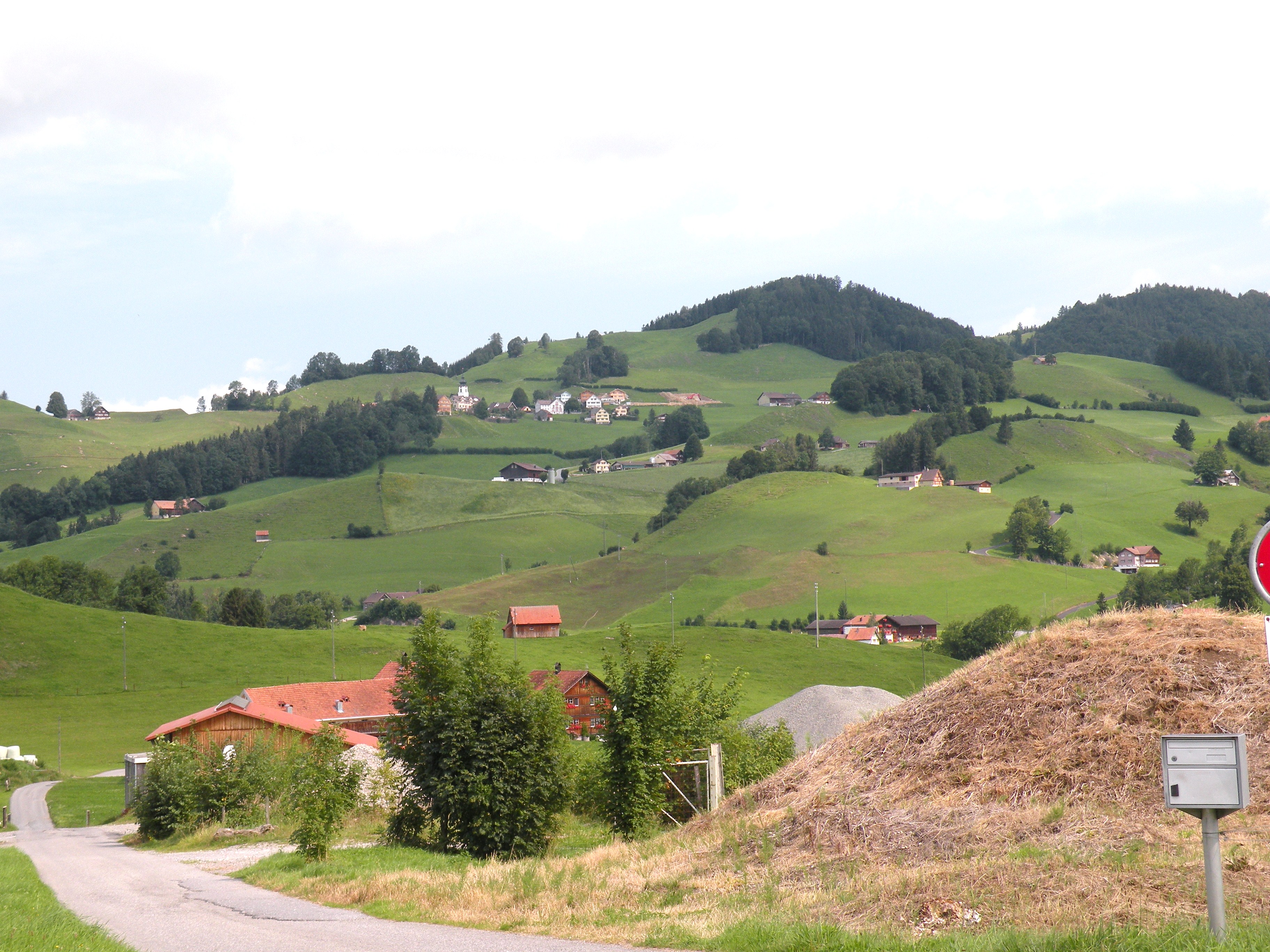
I started my hike down a scenic path. Hiking down is tough on my knees and I have a tendency to sprain my ankles easily and that was on my mind. If that happened, I’d be in a bit of a pickle and I seriously considered turning back, but curiosity got the better of me. I just had to see what was around the next bend, and the next and the next. I passed a couple of moo cows along the way and figured if they can do it, so can I. Of course, they were lying down. I just took it slow, watching every step.
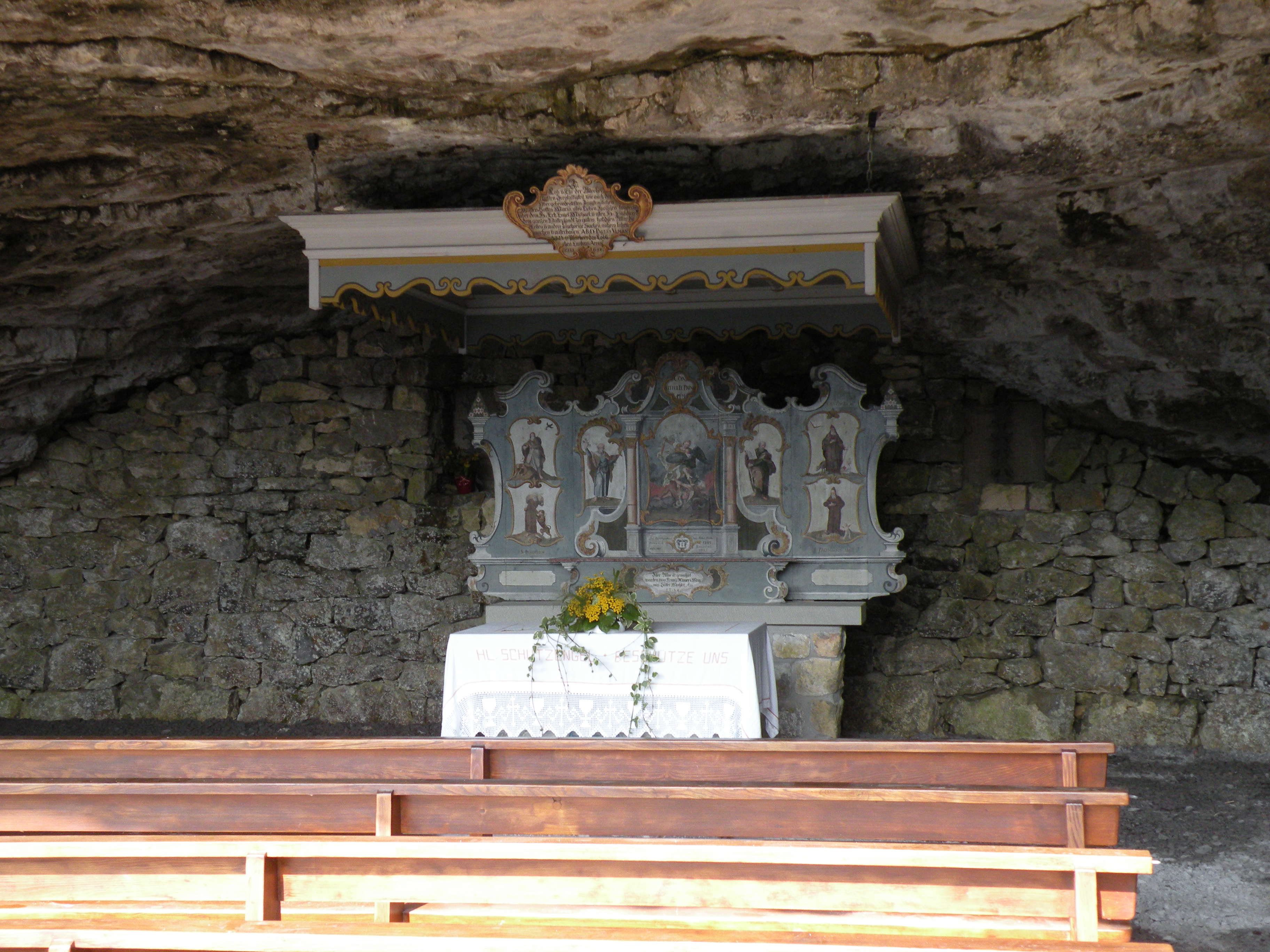
 After a while, I came upon a chapel built into a cave in the side of the cliff. Not exactly what I was expecting, but interesting. The path leveled off for a while and then started down again. The views from up here were awesome, the skies were clear and the sun was behind me so the views were crisp and clear. I kept going, dreading the realization that I had to hike back up this path shortly.
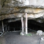
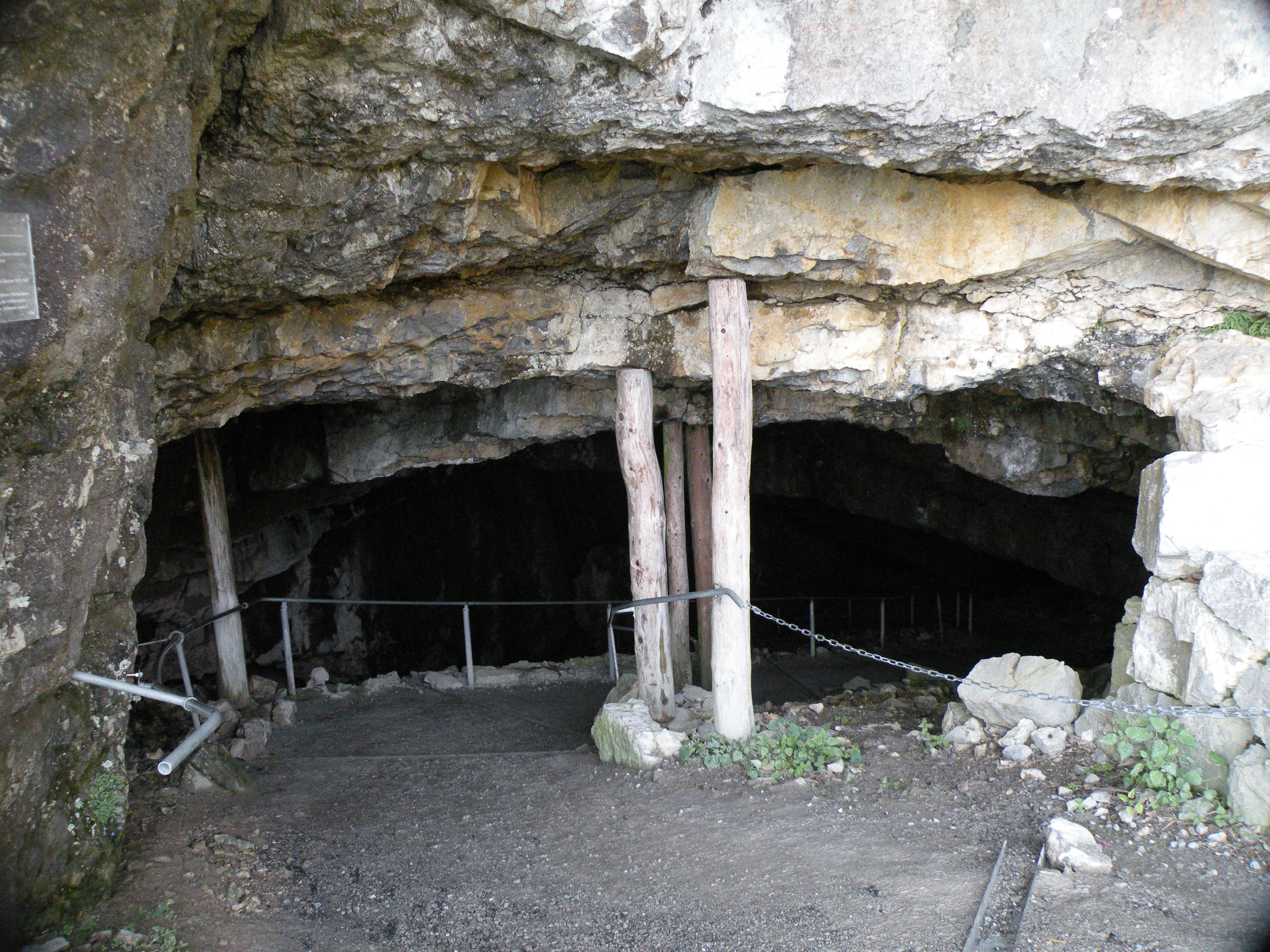
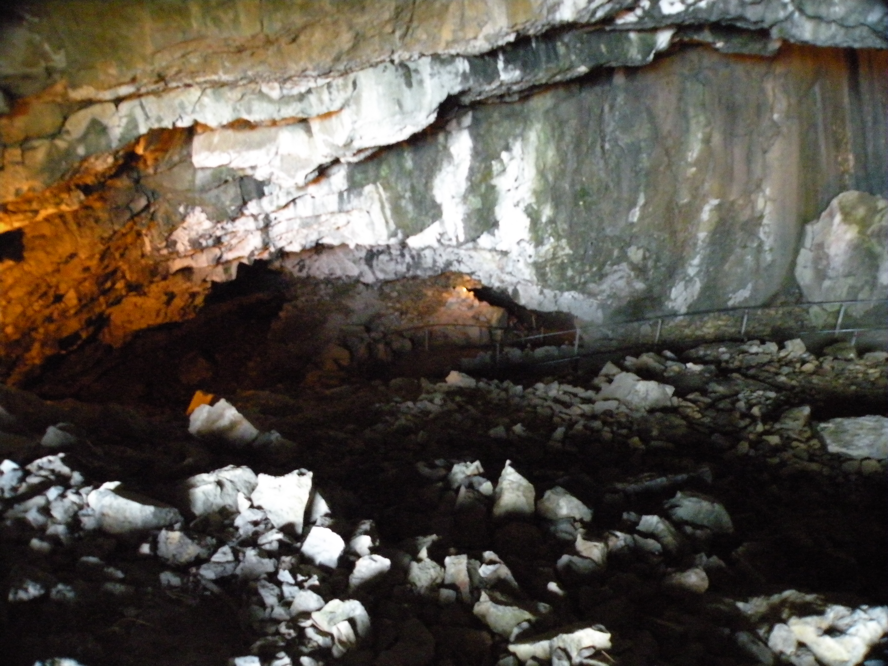
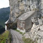
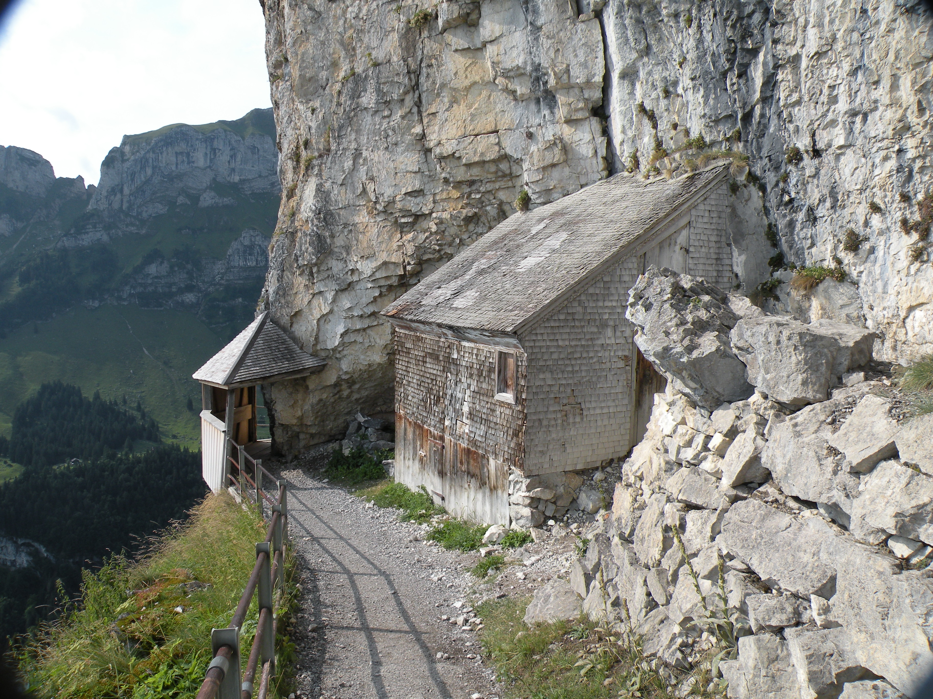
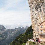
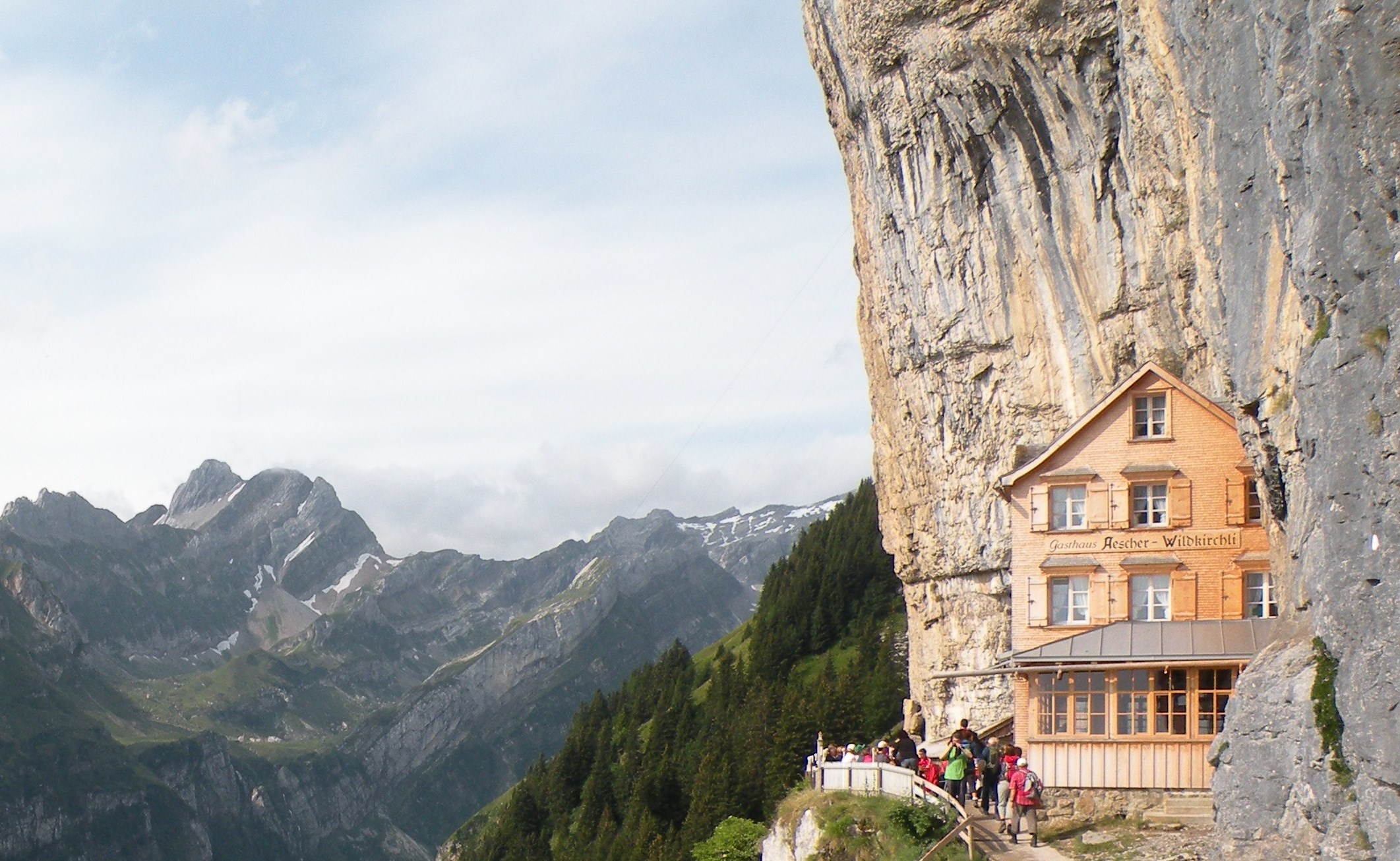
 I came to a cave entrance, the path didn’t seem to go anywhere else, so into the cave I went. More down and more down. I exited the cave and had no idea where I was but kept following the path. I came around a bend and there it was, the Äescher cliff house. It’s pretty wild; it’s lodging (a mattress in the attic) and a restaurant and bar with a patio and everything, hanging on the side of a cliff on an Alp.
 Berggasthaus Äescher
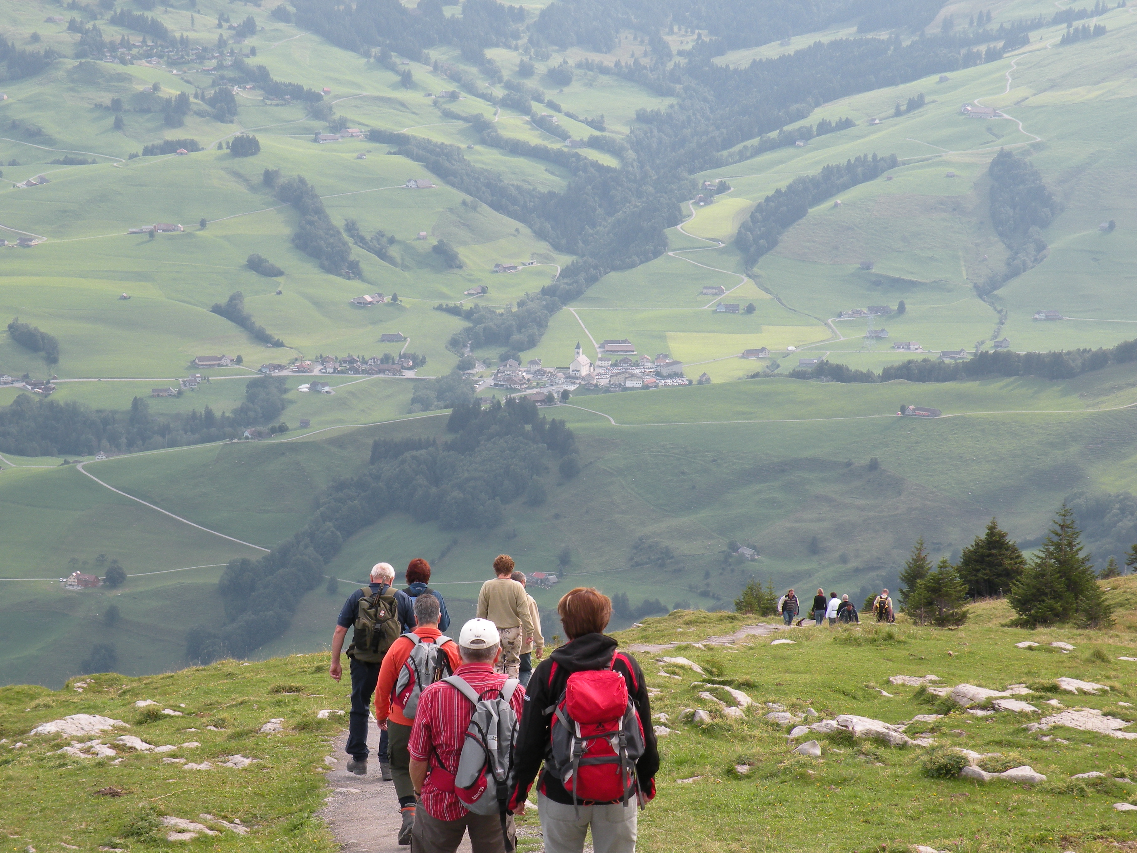
I checked it out and took some pictures and headed back up the path. Slow and steady, with breaks now and then. My heart was pumping and I was sweating and my calf muscles were feeling the pain. It hurt so good. The nice cool breeze and a big gulp of water now and then helped a lot. I noticed a lot of hikers using a walking stick or two. Not sure if that helps or not or if it’s just psychological. Seems like it’s just something else you have to carry; I might try it though.  Obviously, the trip up was a lot longer than the trip down, but I hung in there. Couldn’t help but think that I’m sort of glad I didn’t stay at the cliff house. Today, I was just carrying my day pack and that’s hard enough. If I had stayed there, I would have hiked in with my big pack as well, and hiked out with it. Not a real pleasant thought. I do have to say, that if I had tackled this hike as the first hike of my trip, I wouldn’t have made it. I notice that I’m doing better with longer and tougher hikes as I progress.
My legs started feeling a little rubbery and I took a tiny misstep. I knew instinctively that I was going to twist my ankle and I was able to make a conscious decision to take the fall and roll rather than try to stay upright, really twist the ankle bad and probably take the fall anyway. I wasn’t near a cliff so I just let it happen. Down I went, tucking my pack with my camera under my arms and going into a fetal position to protect everything I could. I only rolled a few feet down, no biggie. I checked myself out, got up, the ankle seemed good, only a slight twist, barely noticeable. The camera was fine and no one saw me as far as I could tell, so that was good. Feeling rather lucky, I brushed myself off and got on my way and was at the top in another 15 minutes. I fell down an alp today and was none the worse for wear.
I got in the car and worked out a route to Stechelberg on my maps, as if that does any good. The maps might be OK if they marked the actual roads with route numbers. Route numbers on road signs in Europe are rare. Instead, the road signs list cities that are along this or that particular road. So, you have to know the cities that are along your route. Of course, the maps don’t list all of the cities or towns and the road signs might use towns that are not on your map, so most of the time, it’s a crap shoot every time you come to an intersection.
I did my best, but wound up going way out of my way and right through the middle of Zürich. Although I was frustrated, I have to say, it’s a nice looking town, right on a large lake and there were hundreds of sailboats out today. I put it on my list of places to return to someday. Finally, a familiar city name on road signs, Luzern, which led me out of Zürich and onto a highway and then I saw signs to Interlaken. I was getting close. Finally made it Interlaken and drove around there a bit, on purpose this time. Then I headed up to Schtekleberg where I would ride the cable car to Gimmelwald. Found it easy enough, parked the car and gathered everything up in my pack.
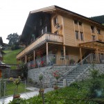
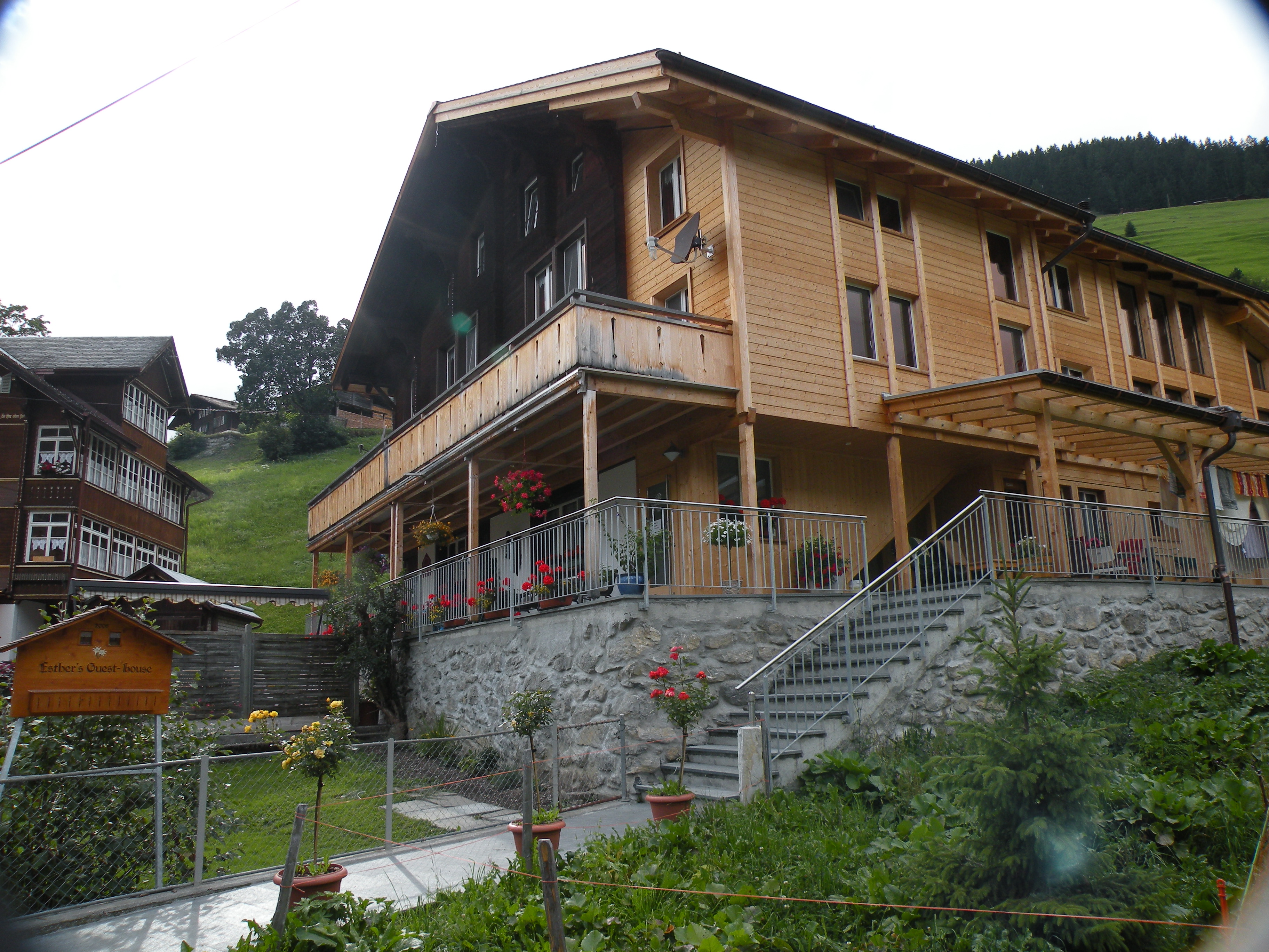
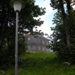
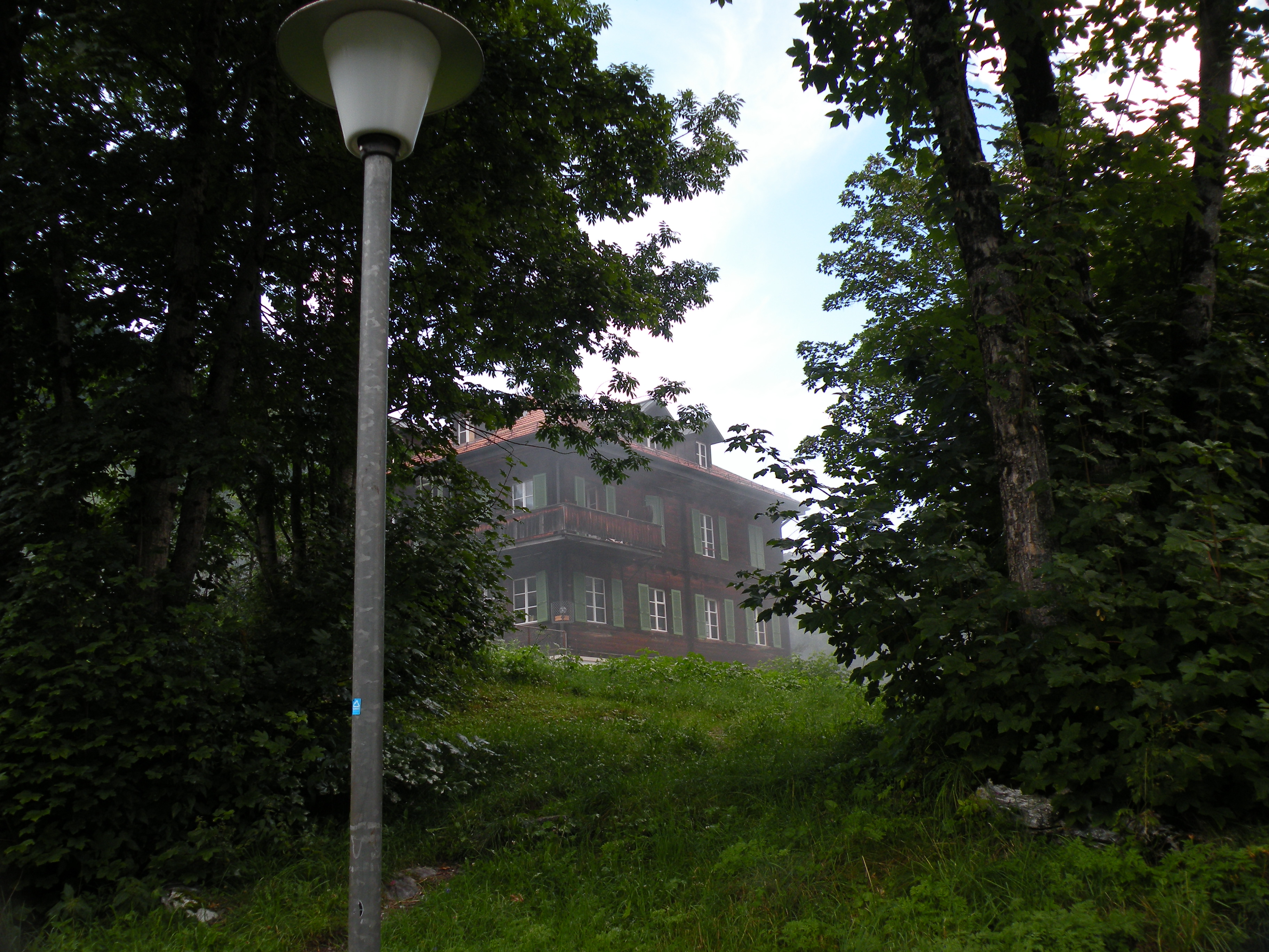
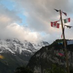
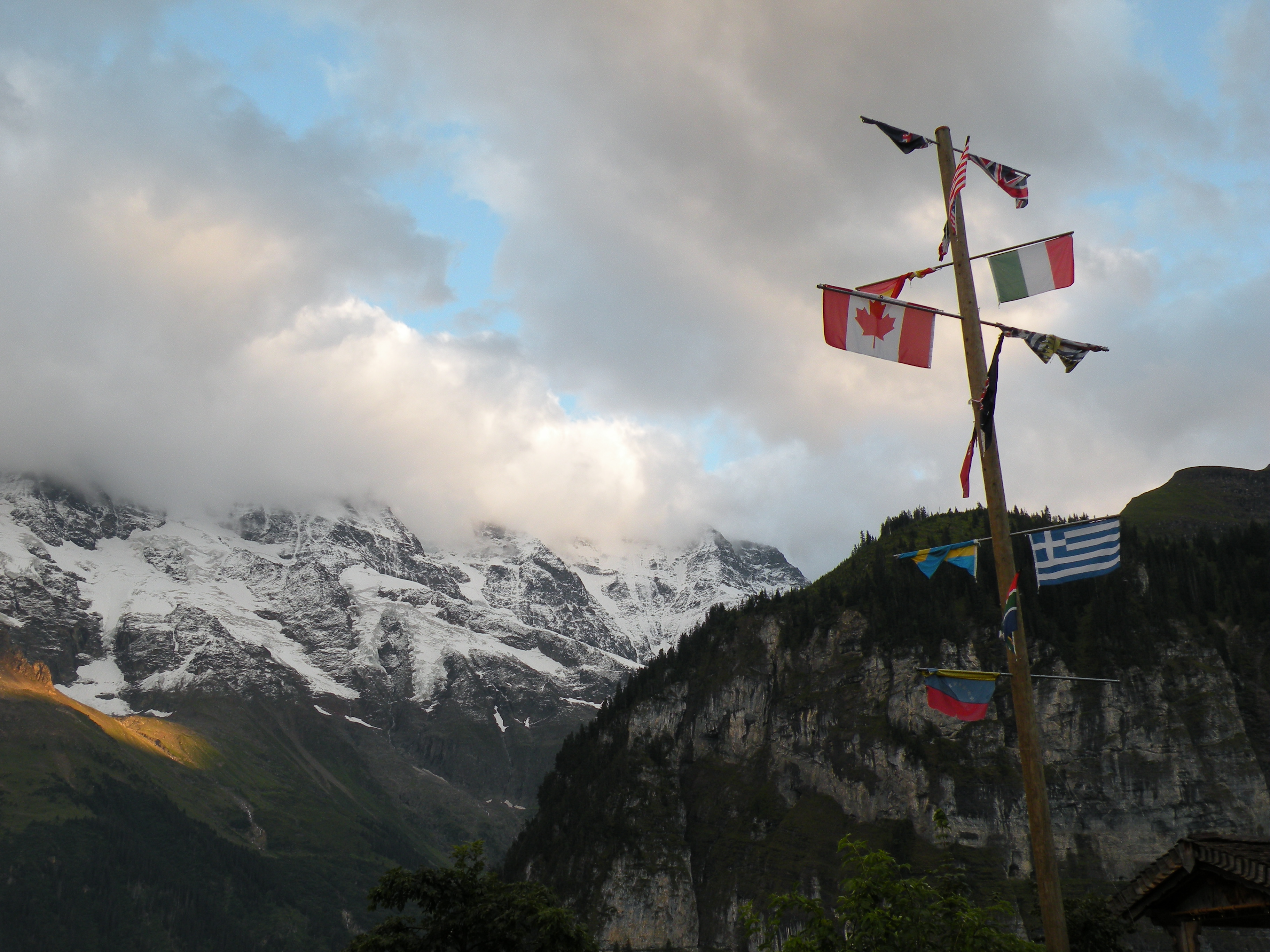
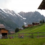
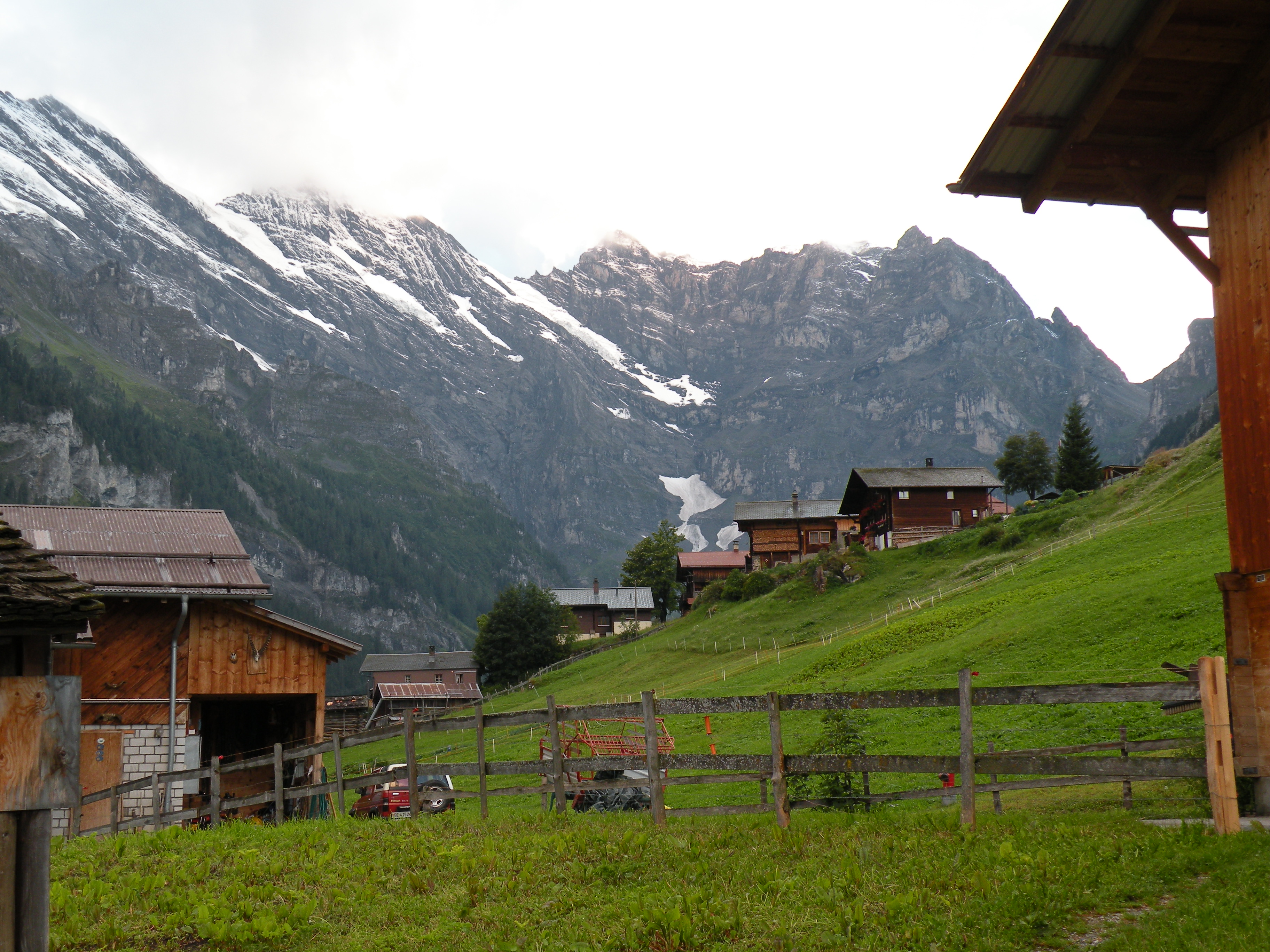
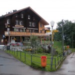
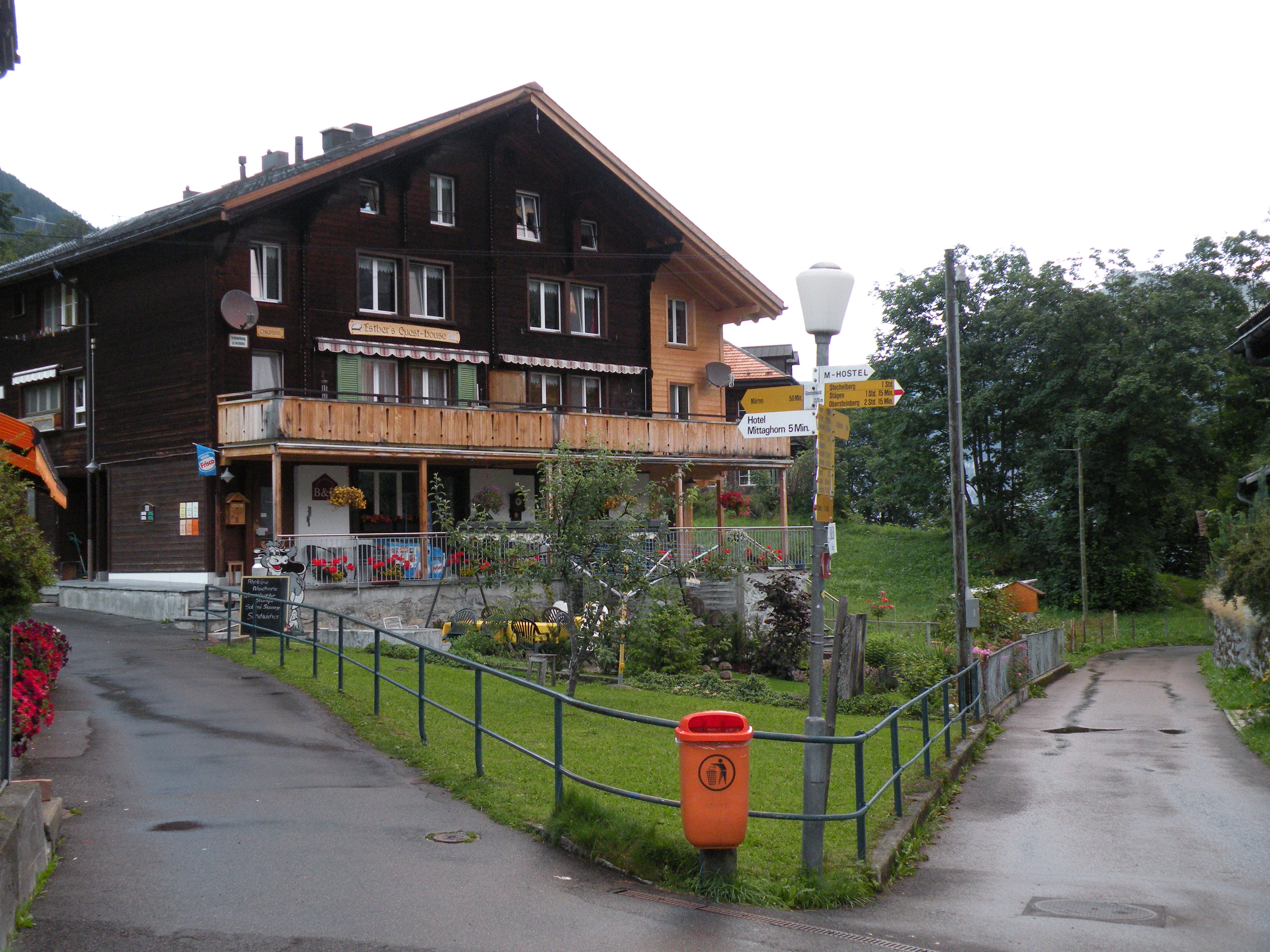
 I was struck by the view when I got off the cable car in Gimmelwald. Oh my. Gimmelwald is up about 4,500 feet in the Alps. Snow capped peaks all around, and so close. I found Esther’s Guest House quickly and checked in; nice place and Esther is a sweetie.
I grabbed some things at Esther’s store and made myself dinner and got on line, finally, to upload the three days or so of journal entries.  Also staying here are Alisha and Jeff from New Jersey and a family from England. Alisha has been in Switzerland for a couple of months working at the American School and Jeff, her boyfriend has just joined her for a couple weeks of travel and then they’ll both head home. Really a nice young couple.
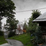
I took a walk through town, which took all of about 10 minutes. It’s literally one street, and a short one at that. Did some more updates and went to bed and fell asleep to the sound of several waterfalls on the adjacent peak.
-
- On the trail to Berggasthaus Äescher
-
- On the trail to Berggasthaus Äescher
-
- On the trail to Berggasthaus Äescher

-
- Through the cave on the trail to Berggasthaus Äescher
-
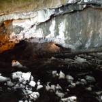
- Through the cave on the trail to Berggasthaus Äescher
-
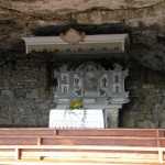
- Chapel carved into the side of Eben Alp
-
- On the trail to Berggasthaus Äescher
-
- Berggasthaus Äescher
-
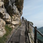
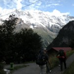
- The trail from the Äescher cliff house back up to the cable car station
-
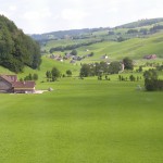
- The valley below Gimmelwald
-
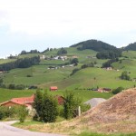
- The road out of Appenzell
-
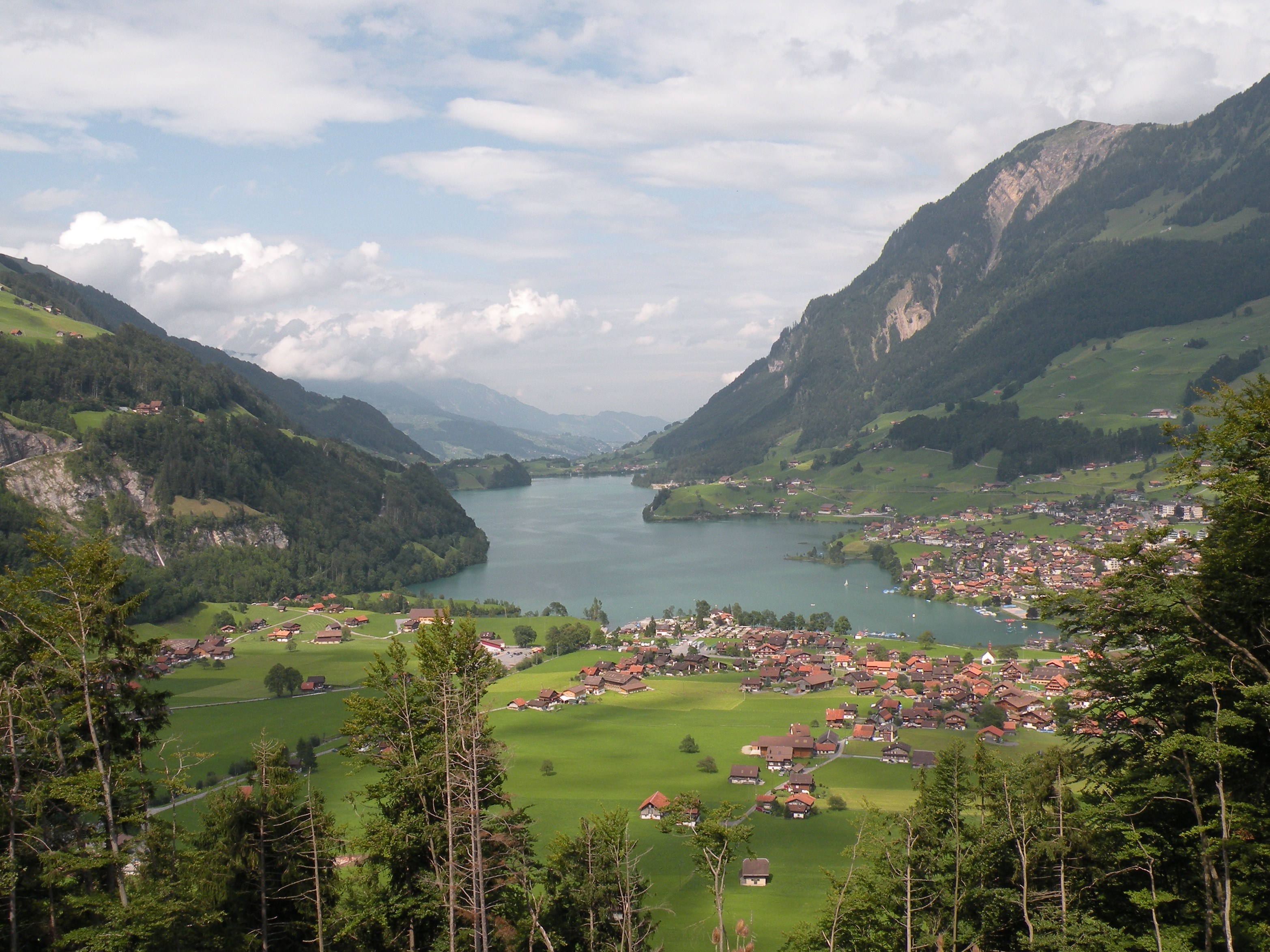
- Just drove through this town, Lungern, Switzerland
-
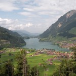
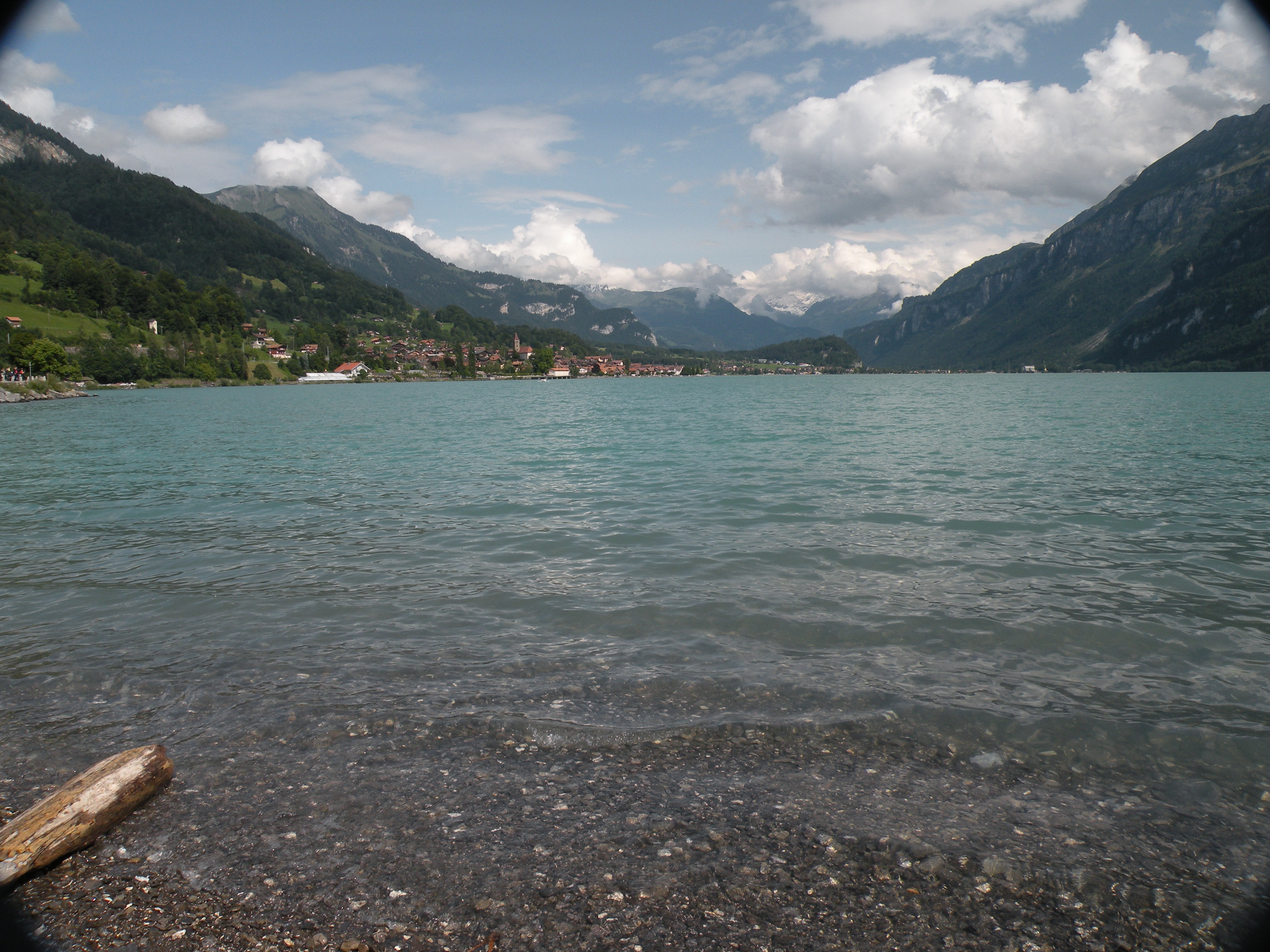
- Brienze on Lake Brienze
-
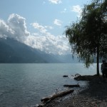
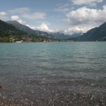
- Lake Brienze

-
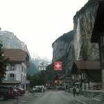
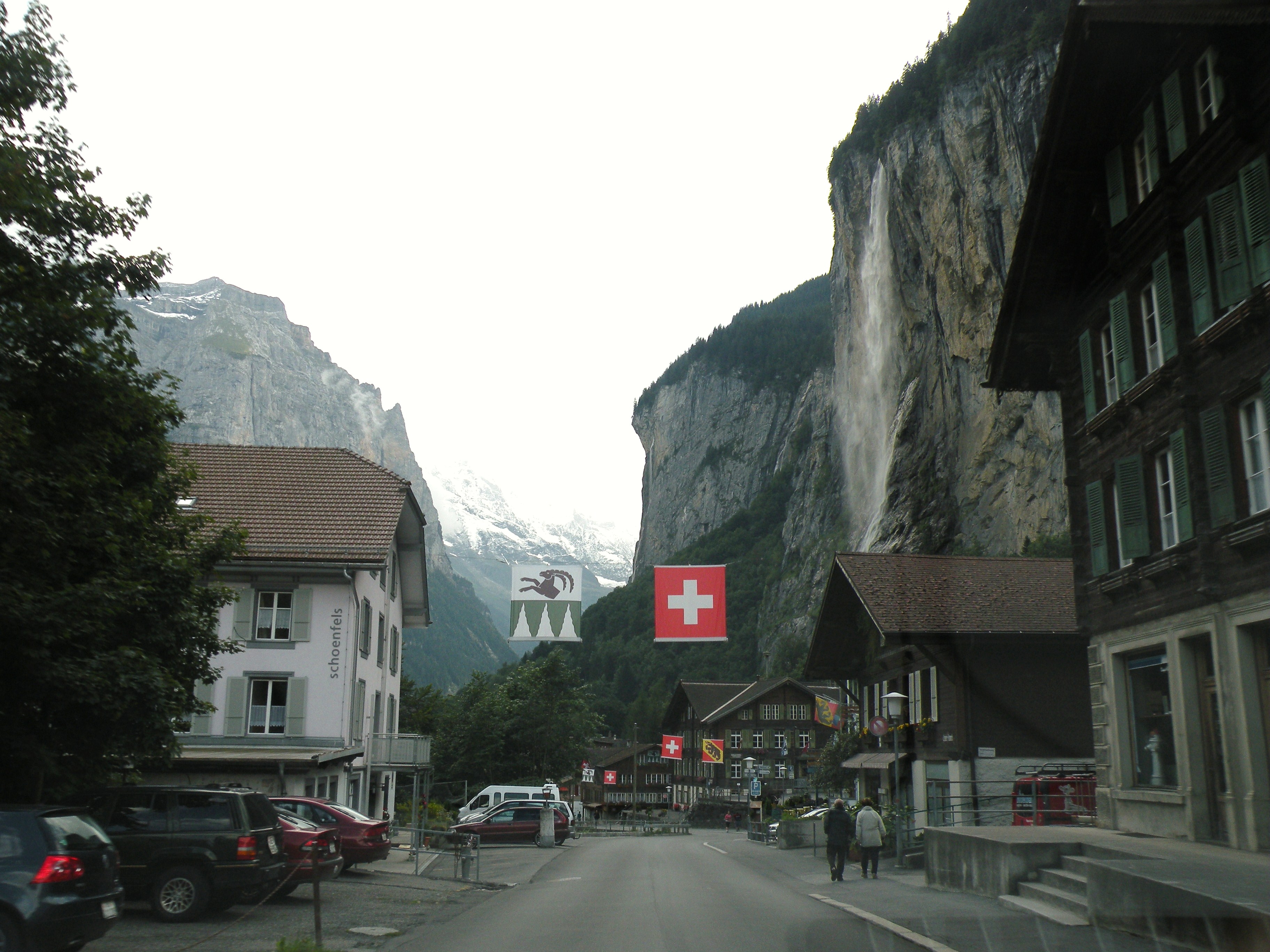
- Stechelberg
-
- Gimmelwald

-
- Esther’s Guest house in Gimmelwald
-
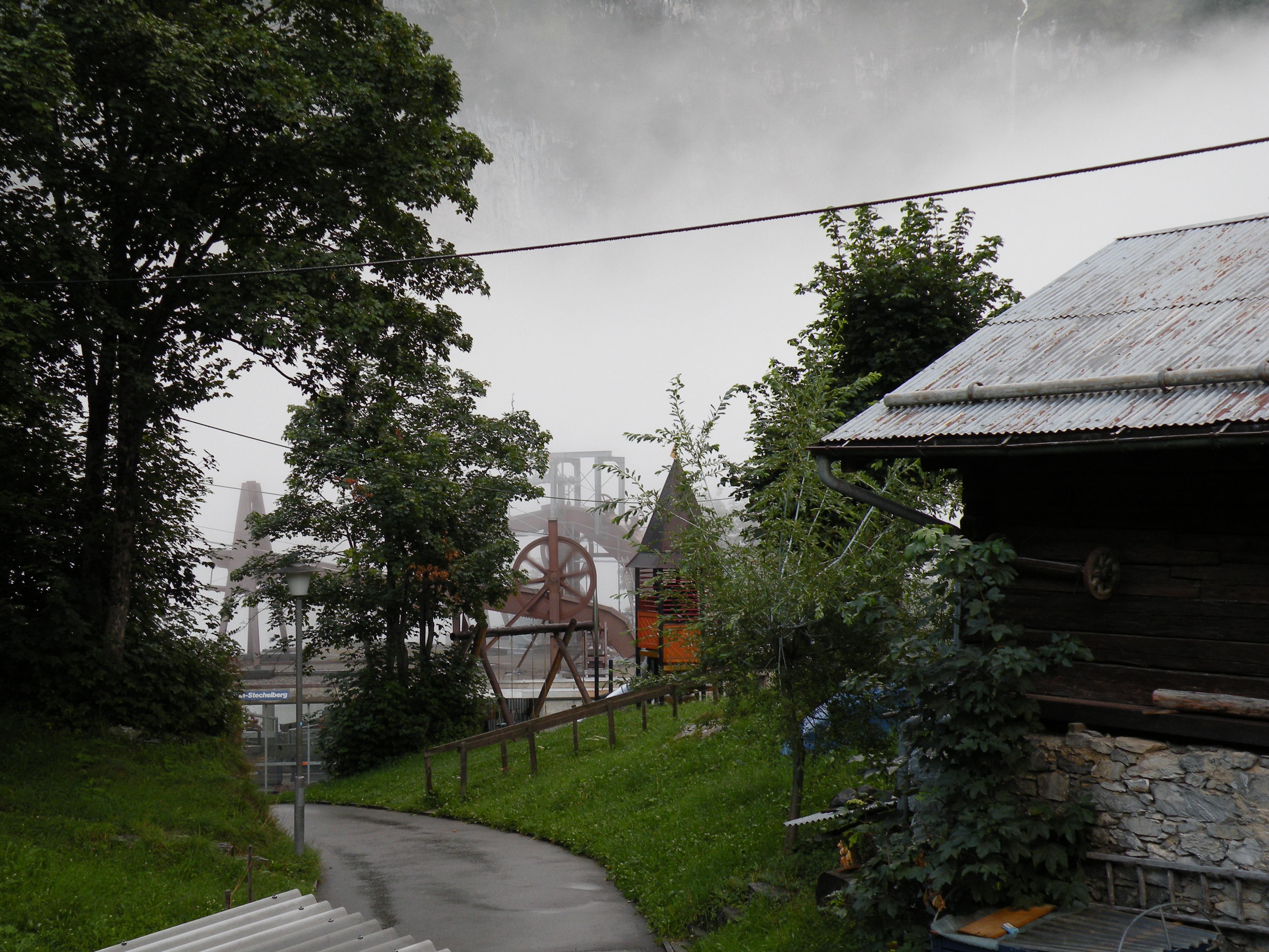
- The gears on top of the cable car station in Gimmelwald
-
- The School House in Gimmelwald
-
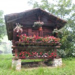
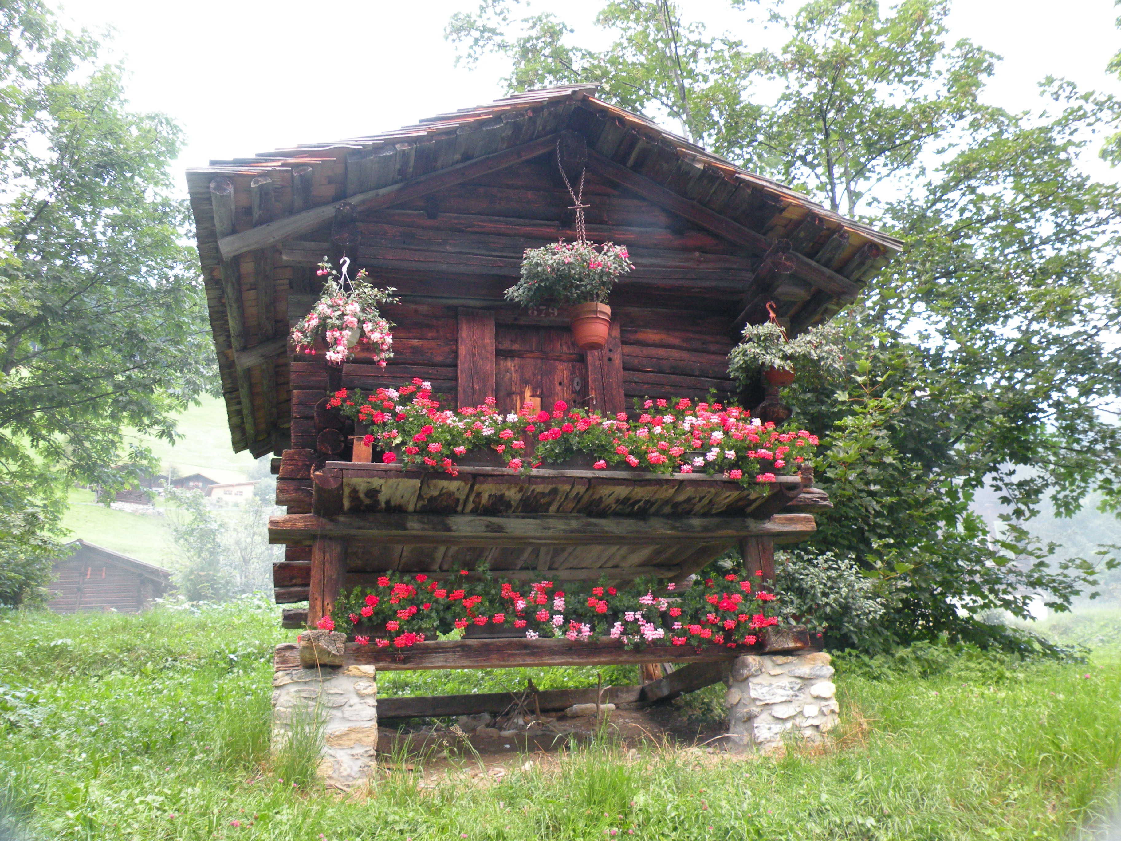
- Spycherli; these little sheds are spread througout the Alps and were used to temporarily store groceries like meat, cheese and corn
-
- The view from the Mountain Hostel in Gimmelwald across the street
-
- Gimmelwald
-
- Esther’s Guest House
-
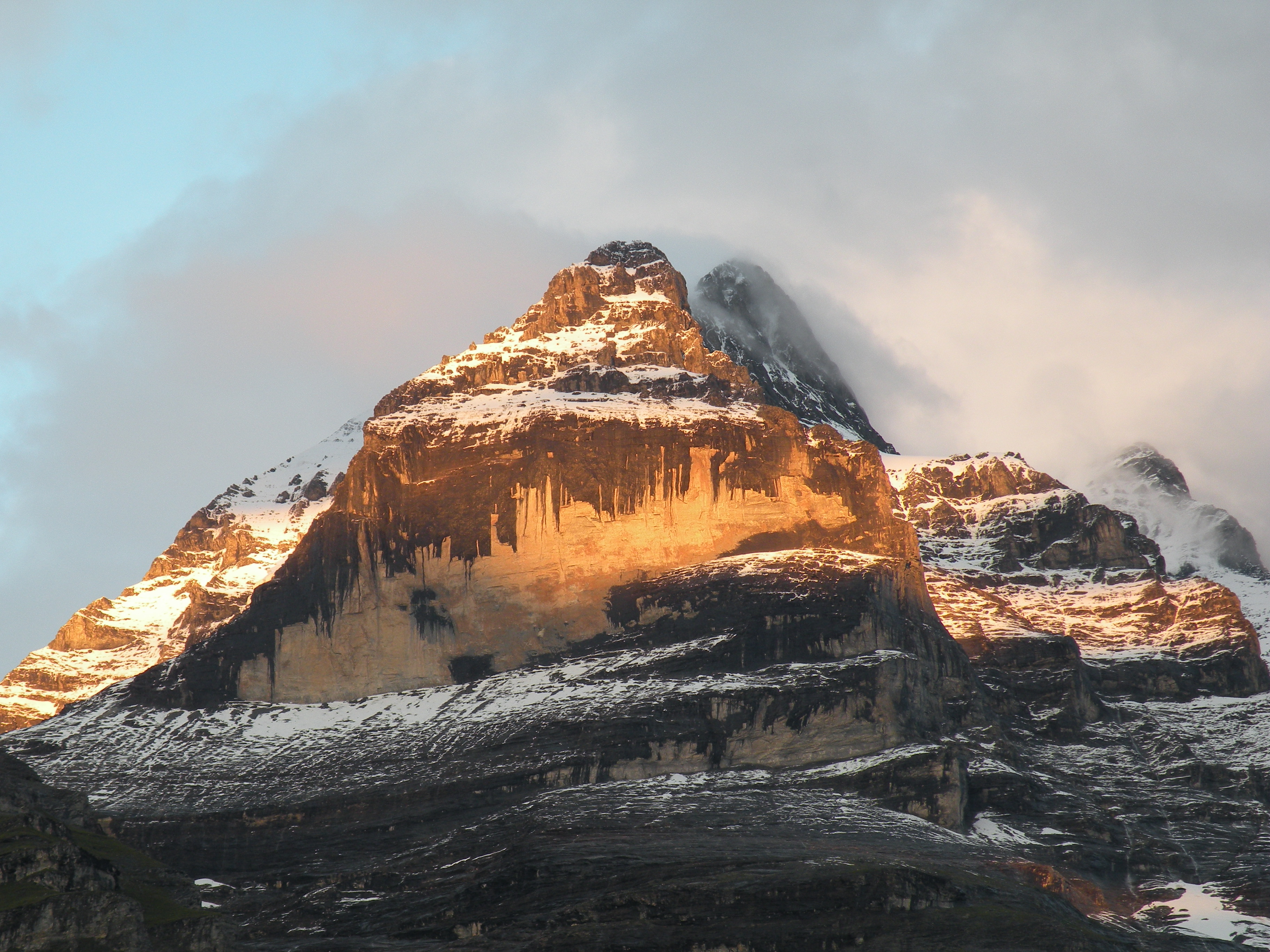
- The Eiger from my bedroom window